Technology
Real terrain,
in your browser.
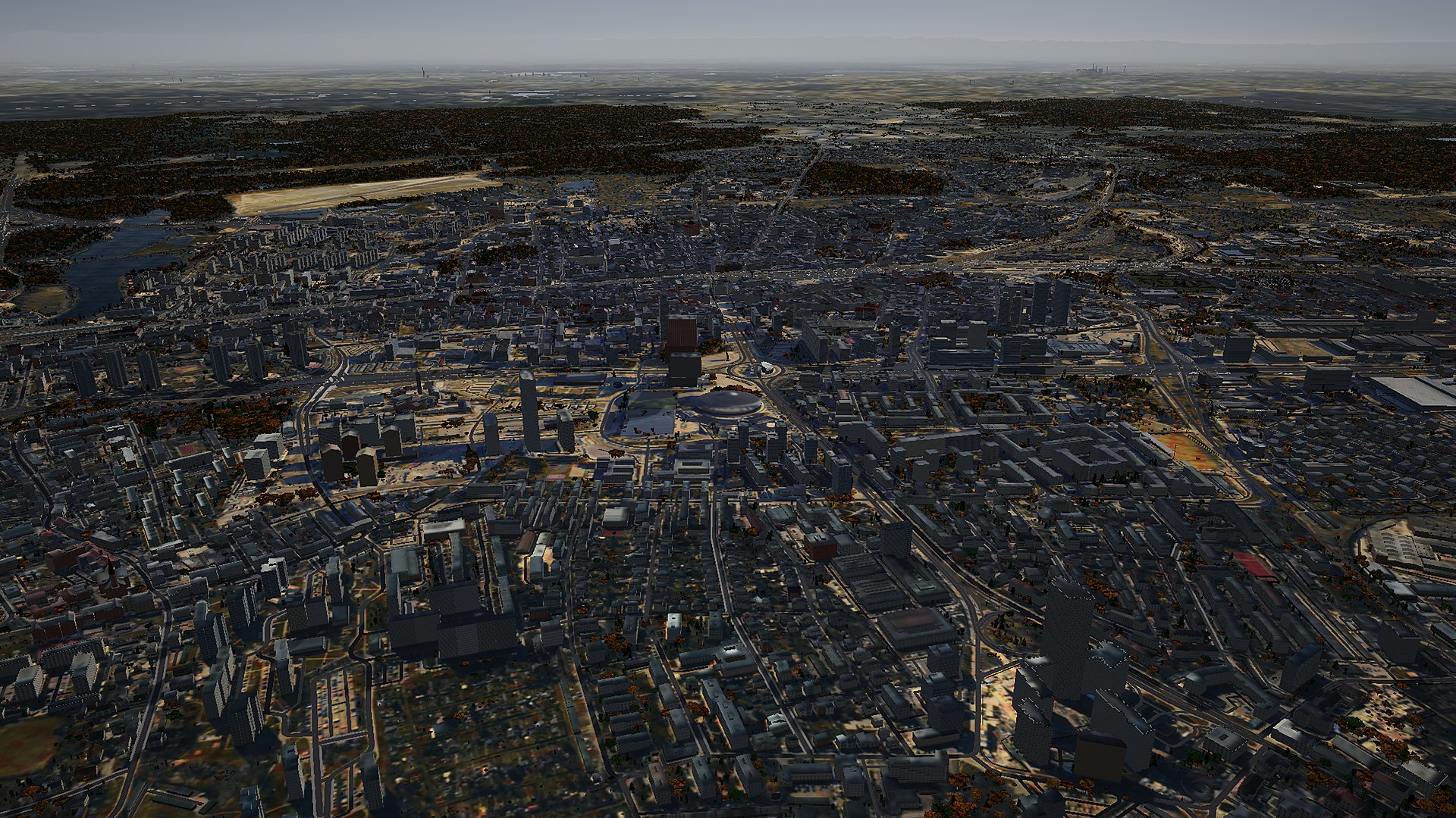
The world is assembled automatically from open public data: lidar, aerial photos, building models and the map. The game downloads only what can be seen from the aircraft.
01 · Data
Open sources only.
Everything you see in the game comes from data that can legally be downloaded and used. No commercial data and no real air traffic (ADS-B): the aircraft around you are simulated.
02 · How the world is made
From raw data to tiles.
03 · In the browser
Streaming in around the aircraft.
04 · Phones
Memory under control.
iOS closes the browser tab without warning when it runs out of memory. So the game counts how much the textures, geometry and screen buffers take up, and reduces the detail range by itself before it hits the limit.
- The WebGL memory counter tallies every texture and buffer (with mipmaps), plus the JS heap where the browser reports it.
- The budget guard gradually shortens the range of buildings, trees and terrain detail as memory approaches the budget for the given quality level.
- Two worker threads on a phone instead of four, and a smaller cache for aerial photos.
- Quality levels from “phone” to “high”: tree range from 1.3 to 3.5 km, buildings from 2 to 5.6 km, texture and screen resolution.
- Everything optional: air traffic, radio, animals, night lights and other extras can be turned off in the menu.
05 · Flight model
Every aircraft flies in its own way.
06 · Sound and radio
Twelve voices, machine-checked.
07 · Hosting
A few gigabytes, downloaded piece by piece.
08 · Licences and acknowledgements
Map © OpenStreetMap (ODbL) · Orthophoto map, lidar, 3D building models and BDOT10k: GUGiK, geoportal.gov.pl (CC BY 4.0) · Czech orthophoto map: ČÚZK (CC BY 4.0) · Slovak orthophoto map: GKÚ Bratislava (CC BY 4.0) · Terrain relief across the border: Terrain Tiles (Mapzen, AWS; SRTM; EU-DEM: produced using Copernicus data and information funded by the European Union) · Forest type and meadows: generated using European Union's Copernicus Land Monitoring Service information · Monuments: NID register (CC BY 4.0) · Night lights: NASA Black Marble · Weather: Open-Meteo.com (CC BY 4.0) · Bells and birds: Wikimedia Commons (CC0, CC BY, CC BY-SA, public domain) · Radio voices: Piper synthesis (voices under CC0, CC BY and CC BY-SA licences, list in the game) · 3D engine: Babylon.js (Apache 2.0) · Page scrolling: scroll-craft (MIT).
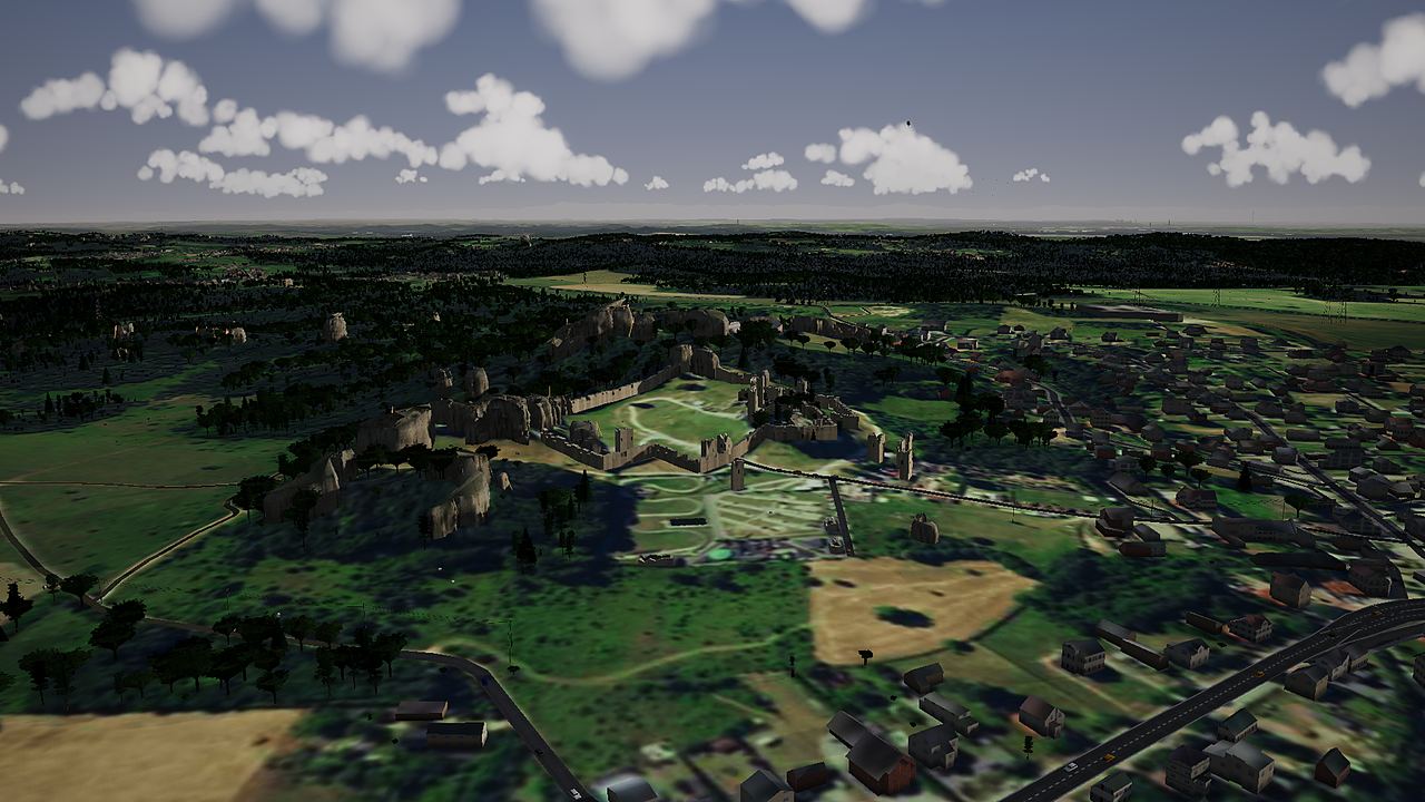
The OpenStreetMap data has been processed: the world files downloaded by the game (the /world/ directory on this server: roads, railways, rivers, buildings, land cover, names and places) contain a database derived from OpenStreetMap and are made available under the Open Database License (ODbL) 1.0. A description of how they were prepared and the build scripts are available on request: [email protected]. GUGiK, ČÚZK, GKÚ and other CC BY data are processed in the game (cropped, downscaled, merged and converted into tiles). The images on this site and the game screenshots are frames from the simulator built from this data.