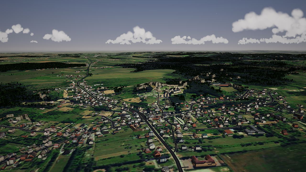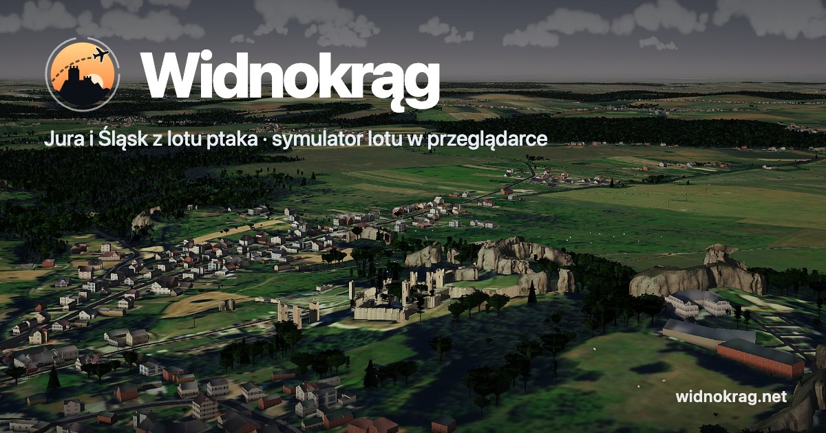
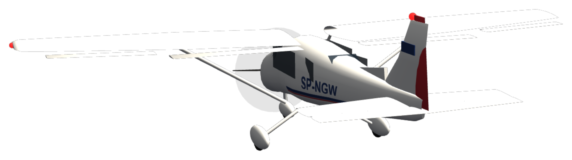

Jura and Silesia from above. The Beskids and Kraków too, in 3D from real data. In your browser, on your phone as well.
Launch the game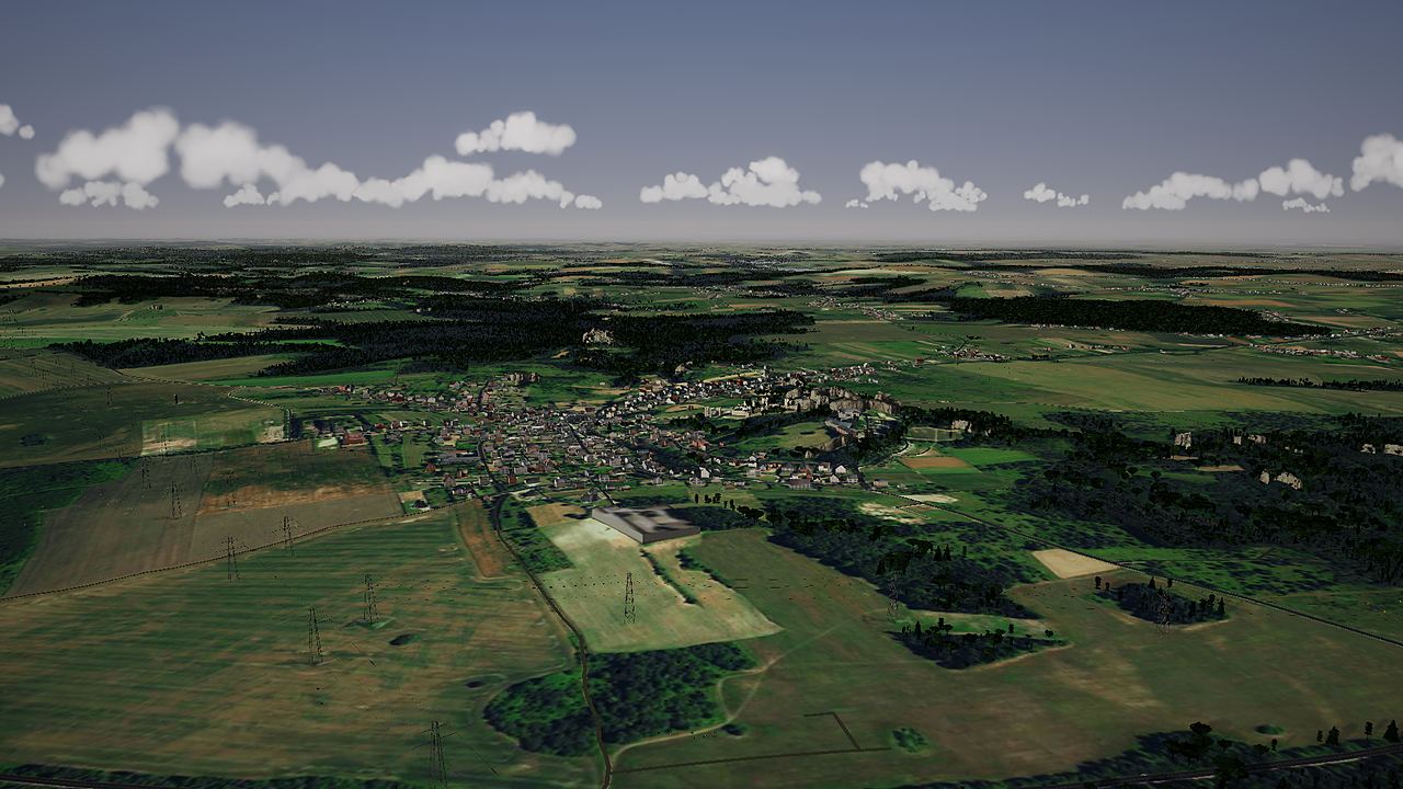
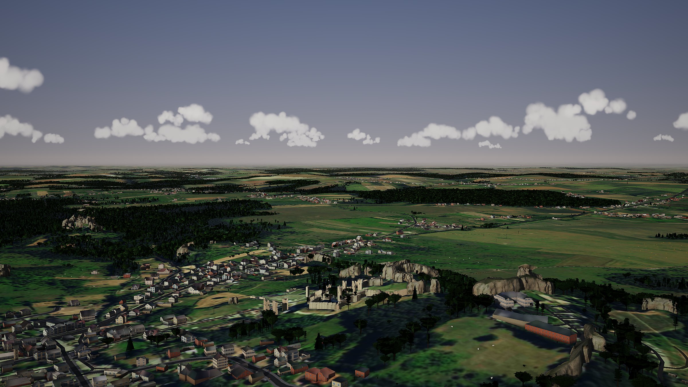
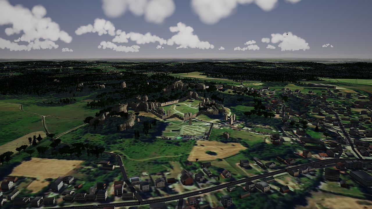
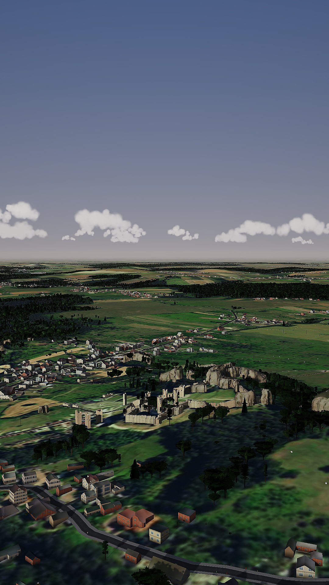
Ogrodzieniec, Podzamcze, Birów Hill
Every hill is where it should be.
Terrain from Geoportal airborne laser scanning, every 30 metres. Trees stand wherever the lidar found them.
One and a half million buildings with roofs.
Geoportal 3D models and OpenStreetMap buildings, with use and number of floors from BDOT10k. Castles and churches have their own models.
An aerial photo under your wing.
Orthophoto map down to 0.4 metre per pixel right under the aircraft, and Czech and Slovak imagery across the border.
Where it came from
It was only meant to be flying from Niegowoniczki.
A grass strip, a few crags. Then the whole Jura joined in.
And then it went a bit further ;-)
0 km² Niegowoniczki airstrip
From the Eagles' Nests to Pilsko.
Castles on rocks, the mines and steelworks of the Industriada, Beskid peaks and Kraków's market square. Each one is a flight destination.


Katowice in the afternoon.
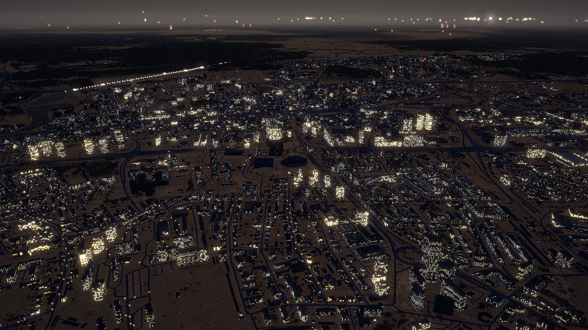
The same Katowice at night.
Time of day and season, live weather, the glow of towns and obstruction lights on chimneys.